


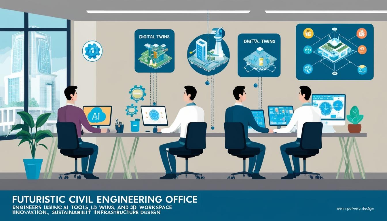
At the Year in Infrastructure 2024 conference, Bentley Systems introduced innovative tools including AI-assisted site design and a partnership with Google Maps, aimed at enhancing productivity and sustainability in infrastructure projects.
Bentley Systems, a leader in digital solutions for infrastructure projects, has unveiled a range of technological advancements poised to revolutionise civil engineering. Announced at the Year in Infrastructure 2024 (YII 2024) conference in Vancouver on 8 and 9 October, these enhancements include a new AI-assisted site design tool, a partnership with Google Maps, and a state-of-the-art carbon analysis solution.
Central to these innovations is the new OpenSite+ software, which employs generative AI to accelerate land development site design. Described as a “generative-AI Copilot,” the software is part of Bentley’s iTwin platform for SaaS solutions and promises to enhance productivity by tenfold. By incorporating smart site objects, optimisation tools, and automated drawing production, OpenSite+ is set to minimise repetitive tasks for engineers while maintaining high-quality outputs. Features such as automated annotations, labelling, and instant dynamic change management are expected to significantly cut production time and reduce errors.
In addition to OpenSite+, Bentley announced a strategic partnership with Google Maps. This collaboration will integrate Google’s geospatial content with Bentley’s digital twin tools, giving civil engineers access to comprehensive 2D and 3D data to support more informed decision-making. This partnership aims to provide a richer digital twin of the Earth, crucial for planning and engineering tasks.
Moreover, Bentley has introduced a new carbon analysis solution that aims to simplify the measurement and management of carbon emissions throughout the lifecycle of infrastructure projects. This tool offers a “cradle-to-gate” evaluation of a project’s carbon footprint, addressing the significant contributions of embodied carbon. This innovation is designed to streamline the traditionally arduous process of carbon reporting, which often involves coordinating disparate datasets and methodologies.
The launch of these technologies is complemented by Bentley’s recent acquisition of Cesium, a platform specialising in 3D geospatial applications. Announced in September, the acquisition integrates Cesium’s capabilities with Bentley’s iTwin, enhancing the creation of digital twins for infrastructure development.
Key figures from Bentley underline the significance of these advancements. Francois Valois, Bentley Systems Vice President of Civil Infrastructure, stressed the importance of AI-assisted technology in addressing both efficiency and sustainability in infrastructure projects amidst growing skills shortages. He highlighted how these tools enable practitioners to access and utilise geospatial data seamlessly within engineering designs, thereby enhancing productivity and accuracy.
The introduction of carbon analysis capabilities was also emphasised, with Chris Bradshaw, Bentley’s Chief Sustainability Officer, pointing out the necessity for standardised and efficient carbon assessments in infrastructure planning. Already, companies like WSP have reported reduced analysis times and improved transparency using these new tools during Bentley’s Early Access Program.
Overall, Bentley’s latest innovations set a new standard in civil engineering project delivery, offering enhanced speed, accuracy, and sustainability. These developments are poised to have a significant impact on the industry, providing engineers with cutting-edge tools to design, build, and manage infrastructure more effectively.
Source: Noah Wire Services


